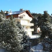
Departure cityFONT-ROMEU-ODEILLO-VIA
Arrival cityFONT-ROMEU-ODEILLO-VIA
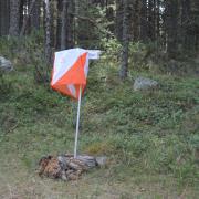
BeaconingWhite and red GR (long hiking trail), Yellow PR (short hiking trail), Yellow and red GR de Pays (local long hiking trail)
Altitude1163
Circular routeyes
Files
For trail and nature lovers, there are several mapped and marked trails on the training grounds of our international ambassador Kilian Jornet. From the town center of Font-Romeu or the foot of the slopes, several courses from 7 to 35 km spread between 1700 and 2700 m altitude. Map on sale at the Tourist Office (map, topographic coordinates, slope percentages, chronometric references ...) trail events