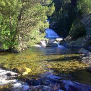
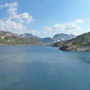
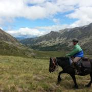
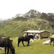
JOELETTE HIKING ETANG DU LANOUX
Distance12
LevelDifficult
Pathway disabled
Duration
07:30
Departure cityPORTE-PUYMORENS
Arrival cityANGOUSTRINE-VILLENEUVE-ESCALDES
BeaconingWhite and red GR (long hiking trail)
Altitude570
Circular routeno
Files
A very sporty route that will take you to the pond of Lanoux, at 2250 m altitude. Reserved for a team of drivers in good physical shape and completely mastering the driving of the joëlette as well as a passenger ready to endure a great day of joëlette. Hiking to do in summer.